


Saffron Walden
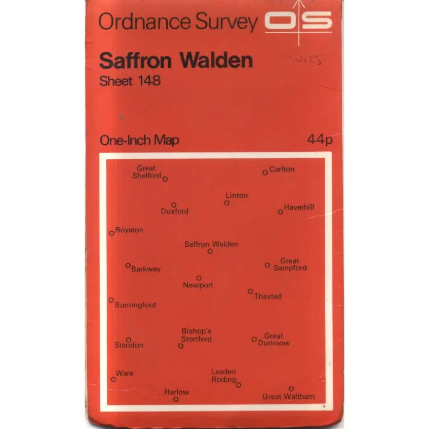
Publisher: Ordnance Survey
Format: Paperback
ISBN: none
Saffron Walden – Sheet 148 (1968) – Ordnance Survey
Ordnance Survey | One-Inch Map | ISBN: None
Condition: Good | Sold by Crappy Old Books
Saffron Walden. A delightful Essex market town with medieval streets, handsome historic buildings and a name that sounds suspiciously like an expensive ingredient in a particularly ambitious restaurant menu. Named after the saffron crocus once cultivated in the area, it is one of those wonderfully English places where centuries of history sit comfortably alongside everyday life, and where even the most ordinary street corner may have something interesting to say about the past.
Welcome to Saffron Walden – Sheet 148, a splendid vintage Ordnance Survey map dating from 1968, when Britain was enjoying the Swinging Sixties, the Beatles were conquering the world, and navigating the countryside still required a folded paper map rather than a small electronic device confidently directing motorists into rivers.
This classic One-Inch Map, at a scale of one inch to one mile, covers a generous sweep of eastern England, including Saffron Walden, Bishop’s Stortford, Royston, Haverhill, Great Dunmow, Harlow and numerous smaller settlements whose inhabitants were presumably quite content to remain undisturbed by the relentless march of modern civilisation.
The map captures a landscape of market towns, agricultural countryside, winding lanes, historic villages and expanding communities at a particularly interesting moment in British history. The late 1960s were a period of accelerating suburban development, road construction and changing patterns of transport, while much of rural Essex, Hertfordshire and Cambridgeshire still retained the character of earlier generations.
For local historians, this is where the real entertainment begins.
An old Ordnance Survey map allows the curious reader to discover roads that have since been bypassed, fields subsequently covered with housing estates, and settlements that have expanded so dramatically that their former inhabitants might struggle to recognise them. What was once a quiet country lane may now be a busy commuter route, while a seemingly insignificant patch of farmland might have become an enormous industrial estate surrounded by roundabouts.
There is something particularly satisfying about examining the geography of 1968 without the assistance of modern technology. Every road, railway, woodland and settlement was painstakingly surveyed and recorded, producing a wonderfully detailed representation of the landscape long before satellite imagery became available to anybody with an internet connection.
The distinctive red Ordnance Survey cover, boldly announcing Saffron Walden and Sheet 148, is itself a pleasing piece of cartographic nostalgia. The original printed price of 44p offers a charming reminder of an age when a comprehensive map of a substantial area of England cost less than a modern supermarket carrier bag.
Naturally, this is a historical map rather than a reliable guide to present-day navigation. Roads, developments and other features may have changed considerably since publication, although the countryside remains perfectly capable of confusing visitors regardless of which century their map belongs to.
This 1968 Ordnance Survey edition, offered in Good condition by Crappy Old Books, is an appealing acquisition for vintage map collectors, local historians, genealogists and anyone interested in the changing geography of eastern England.
A fascinating cartographic snapshot of the country as it appeared more than half a century ago, before motorways, housing developments and commercial estates rearranged so much of the familiar landscape.
And a reminder that in 1968, getting lost was an entirely respectable British pastime.
Particularly if you could blame the person holding the map.
Keep browsing: See more Maps books Other books by Ordnance Survey
